Justin software is an indispensable tool for wide range of geodetic and surveying tasks. It combines high performance, flexibility for post-processing GNSS observations with GIS interface and features. The Justin software discloses all advantages of the JAVAD technology and has been optimized to deal the highest precision with the least amount of operator invention.
Features
Import/Export
- Import GNSS data (JAVAD.jps, RINEX, Hatanaka compressed, RTCM 3.0, CORS/SOPAC.apr, ANTEX.atx, P1C1 biases, precise ephemeris sp3, snap- and o-files)
- Export to RINEX
- Export project data (c-files, snap- and o-files, PNEZD, csv, kml)
Post-processing
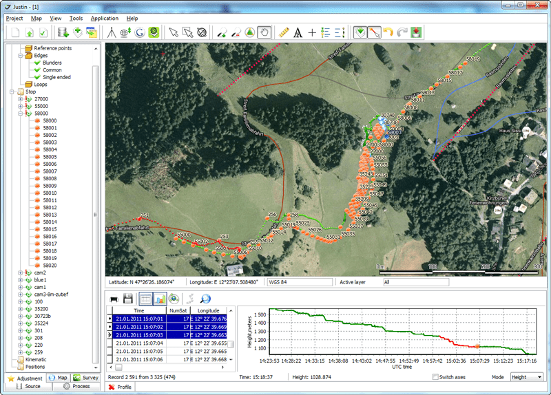
- Baseline and trajectory (static, kinematic, stop&go)
- Moving base kinematic
- GPS, GLONASS, COMPASS, QZSS, GALILEO data
- Interactive mode with timeline and vertical profile
- Receiver tilt compensation
Adjustment
- Networks up to 3000 sites
- Internal and external constraints modes
- XYZ/NEU blunder detection modes
- 1D, 2D and 3D modes with vertical, plane and full control
- Trajectories and stop&go points adjustment
Localization
- Compatibility with JAVAD survey devices and software
- Powerful transformation and adjustment features
- Blunder detection
Data toolkit
- Merging, splitting, picking, thinning, interpolation
- Enable/Disable data via vertical profile or ground track
- Table view, sky plot and ephemeris diagram
Geodetic
- Coordinates calculator and editor using GeoData source
- Online NGS Antennas database (absolute and relative calibrations)
- Reference points catalog
- Accurate map ruler and bearing
GIS Features
- Cartographic window (projection, position, zooming, panning, scaling, ruler)
- Layer control (topology, style, color, labeling)
- Raster georeferencing and background map
- Import vector maps (shapes, tab, MID/MIF, dxf)
- Online Google maps downloading
Mission Planning
- Almanac data viewer
- Sky plot with animation
- Azimuth, elevation and DOPs
Resources
-
 User Manual